Lane Cove River
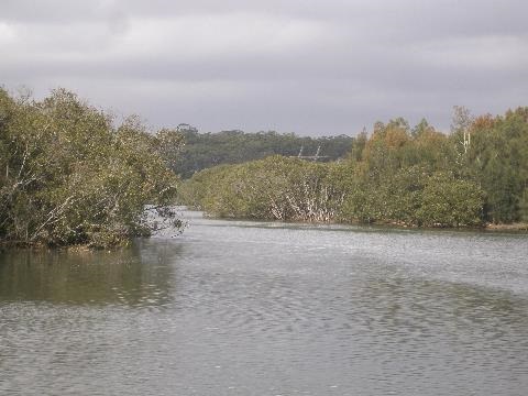
The Lane Cove River is an important remnant natural area close to the CBD. The Lane Cove River estuary is the tidal part of the river between the weir at Lane Cove National Park and the mouth of the river between Greenwich Point and Woolwich. The estuary is highly valued as it preserves remnant bushland of significant ecological value (such as Coastal Saltmarsh) and also acts as a resource for a variety of recreational pursuits.
The Lane Cove River Coastal Zone Management Plan (CZMP) has been prepared in line with the requirements set out in the NSW Government ‘Guidelines for Preparation of Coastal Zone Management Plans 2010’. There are four local Councils, State Government agencies and non-government organisations that play a role in management of the estuary. The Plan contains a series of actions to address the issues of water quality; climate change; aquatic and riparian habitat; foreshore protection; and estuary health monitoring and evaluation. The associated Lane Cove River Coastal Zone Maps provide a visual reference to the actions outlined in the CZMP.
Other studies on specific aspects of the Lane Cove River, its estuary and its catchment include:
Lane Cove River Estuary Recreation and Public Health Facilities Needs Study 2011
Ecological Assessment of Saline Wetlands at Tarban Creek and Tambourine Bay Creek 2010
Lane Cove River Estuary water quality
The Natural Environment of Lane Cove (Chapter 12: page 112)